Rita Angus
Aotearoa New Zealand, b.1908, d.1970
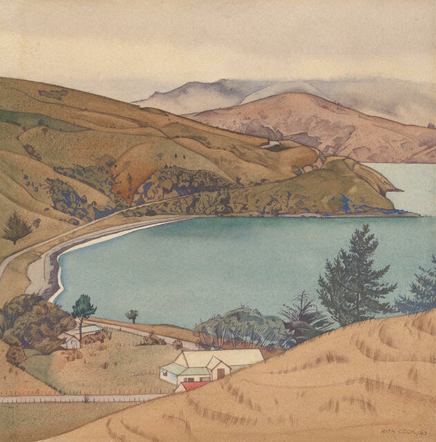
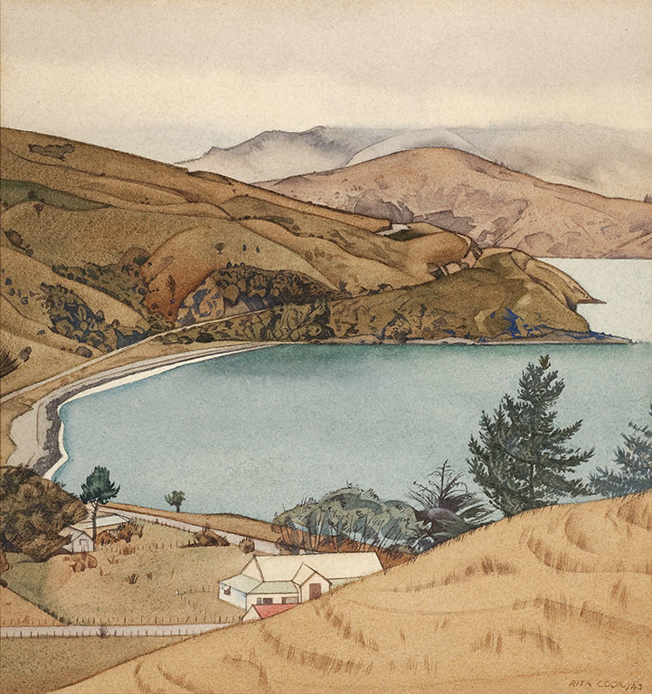
Wainui, Akaroa
- 1943
- Watercolour
- N. Barrett bequest collection, purchased 2010
- 330 x 317mm
- 2010/032
- View on google maps
Location: Arcade
Tags: bays (bodies of water), beaches, buildings (structures), fences, fog, hills, landscapes (representations), natural landscapes, roads, seas, shores (landforms), trees
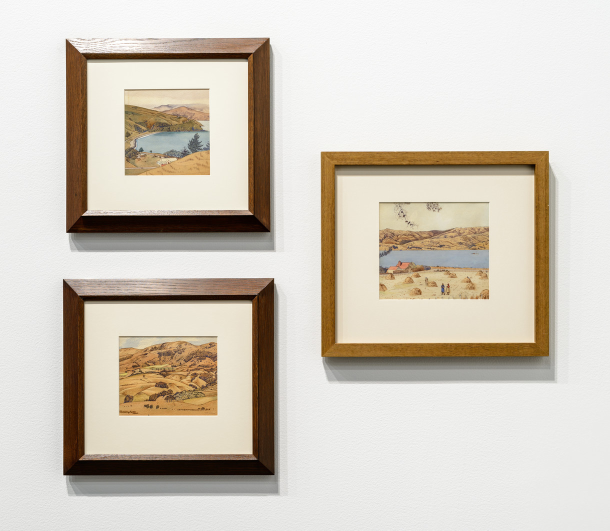
In the summer of 1943, during the height of World War II, Ōtautahi Christchurch artist Rita Angus was called up by the Industrial Manpower Board to report for work at a local factory as part of the country’s war effort. Angus was a pacifist, so she chose instead to move to Wainui, a small coastal settlement in Akaroa Harbour, where she spent several weeks. Wainui was a refuge, a place of retreat and recuperation for Angus, and she embarked on an extraordinary series of small watercolours of the surrounding landscape. The intense attention to detail and her precision and clarity in applying the watercolour paints is exceptional. Angus wrote: “Wainui is charming, the bach is built on a rise overlooking the harbour and opposite Akaroa, and the weather has been rather wonderful. […] I find the bach very comfortable, most of my subjects are near here. I’m aware of much I’ve not noticed before, and how very short is one’s life. Again a hermit, I can reflect on the last few weeks in Christchurch, they were wonderful weeks to me. […] I thought I could be a more simple hermit than I am.”
He Kapuka Oneone – A Handful of Soil (from August 2024)
Exhibition History
He Rau Maharataka Whenua: A Memory of Land, 17 September 2016 – 18 February 2018
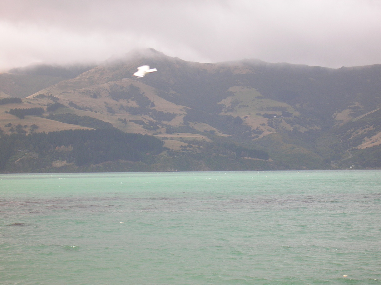
'What makes Wainui significant, apart from its status as a mahika kai [food gathering area] for mussels and karengo [an edible seaweed], is that it sits beneath Tuhiraki [a mountain on Banks Peninsula, across the harbour from Akaroa]. It’s the beginning of the South Island’s traditional history. The metaphor is used that the atua [demi-god] Rākaihautū is striking his kō [digging stick] named Tuhiraki into the ground, creating, making, discovering the lakes. The furthest one south he creates is Lake Whakatipu Waitai, also known as Lake McKerrow, at the top end of Fiordland. Rākaihautū comes inland again and journeys up the eastern side of the island where he meets up with his son Rokohuia – I think around Waihao in south Canterbury at Wainono Lagoon, one of the historic hāpua [lagoons] of Kāi Tahu. Father and son are then joyously reunited to the settlement of Akaroa, which they developed. When they get there, Rākaihautū places his kō across the ridge of the hill above Wainui and changes the name to Tuhiraki – and it’s been a treasured name ever since. The French came and called it Mount Bossu, the hunchback; the hunch is the foot of the kō. The renaming has been attended to now.
'This is the base below Tuhiraki [also known as Mount Bossu]. It’s a mahika kai [food gathering area]. What’s important is the narrative in the hill. From Akaroa, you look across to Wainui, all the way along the peninsula and out over the heads. This is traditionally the centre of the evolution of Waitaha occupation [the Waitaha were an early people who occupied the South Island prior to the Kāti Māmoe and then Kāi Tahu people]. The march of Rākaihautū [the first ancestor of the Waitaha people] and his son Rokohuia gives the ancient name of Canterbury: Kā Pākihi-Whakatekateka-A-Waitaha, the strutting joyous march of Waitaha.' —Sir Tipene O’Regan
