Kā Kaupapa o te Wā
What’s On
Made in the Pacific: A Collection of Tāoga
A selection of Pacific tāoga from the Canterbury Museum in conversation with contemporary artworks that highlight the continued strength in culture and traditional art forms.
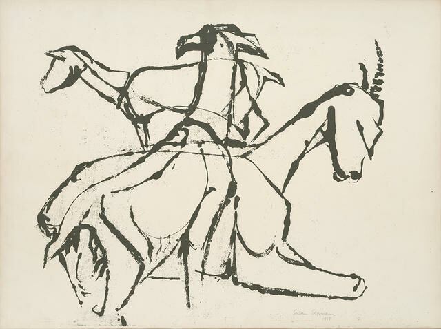
Mark Adams: A Survey | He Kohinga Whakaahua
A comprehensive survey spanning the artist's career.
Ana Iti: Ngahere Behind a Pile of Metal
An immersive installation considering the legacies of deforestation and significance of kauri trees.
E tuwhera ana te wharetoi i kā rā e 7 o te wiki, 10am - 5pm
Ka tuwhera ki te 9pm i kā pō Wenerei
Open 7 days, 10am - 5pm
Late night Wednesday until 9pm
Uruka utukore, ahokore utukore
Free entry, free wifi
Collection
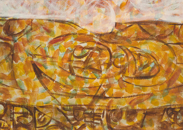
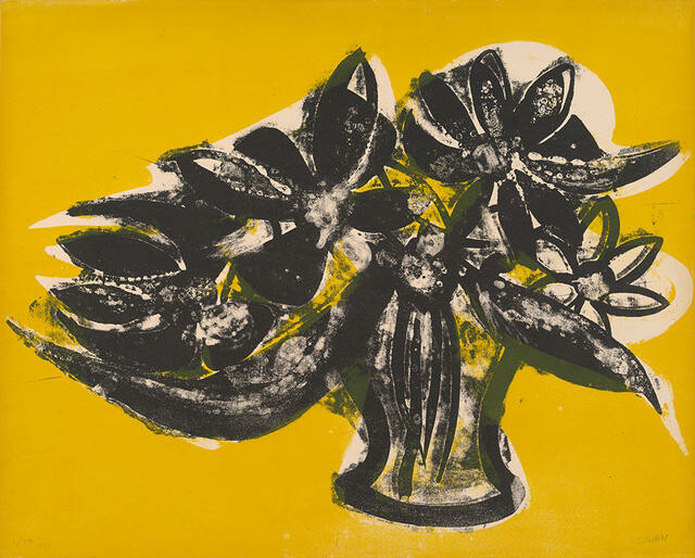
Buck Nin Green Valley
Of Chinese and Ngāti Raukaka, Ngāti toa ancestry, Dr Buck Nin was an important artist, educator and advocate for contemporary Māori art and culture. In 1966, Nin and Baden Pere (Ngāti Kahungunu, Rongowhakaata, Te Aitanga a Māhaki) curated one of the first exhibitions of contemporary Māori art in Aotearoa, New Zealand Māori Culture and the Contemporary Scene, which was held at Canterbury Museum. The exhibition featured the art of Jonathan Mane-Wheoki (Ngāpuhi, Te Aupōuri, Ngāti Kuri) alongside key artists Cath Brown (Kāi Tahu), Fred Graham (Ngāti Korokī Kahukura, Tainui), Mere Harrison Lodge (Ngāti Porou), Norman Lemon (Te Whata), Kāterina Mataira (Ngāti Porou), Selwyn Muru (Ngāti Kurī, Te Aupōuri, Te Pātū, Ngāti Rēhia, Muri Kahara, Te Whakatōhea), and Nin himself. Mane-Wheoki subsequently initiated Nin’s retrospective exhibition for the McDougall Contemporary Art Annex in 1999, showing the formidable relationship built over many years. This work, Green Valley, was recently transferred to the Gallery from Christchurch City Libraries, changing the way it is stored and accessed.
(Living Archives, 25 October 2025 – 8 March 2026)