Natalie Robertson
Aotearoa New Zealand
Ngāti Porou,
Māori,
Clann Dhònnchaidh,
Scottish
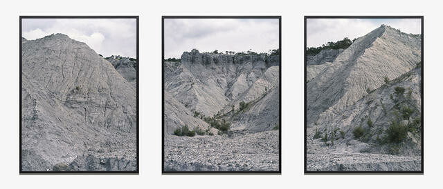
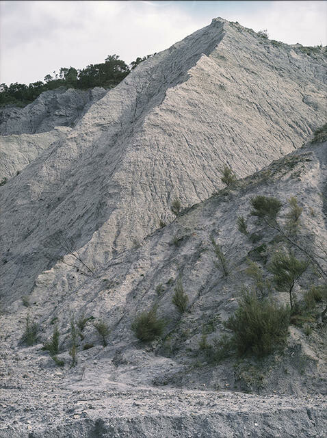
The Blue Slip (Barton's Gully), from Mangarara Stream
- 2023
- C-type gloss print
- Purchased through the Valerie O. Heinz bequest, 2024
- 1622 x 1250mm
- 2024/109.a-c
- View on google maps
Location: South Gallery
Tags: natural landscapes, rock, trees
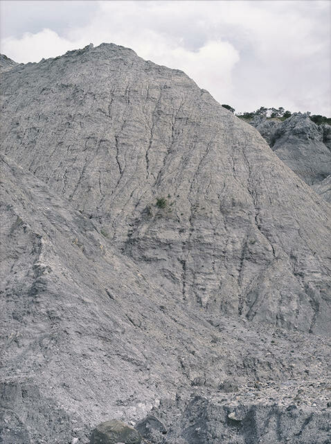
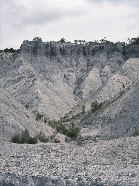
Natalie Robertson creates photographs and moving images that explore mātauranga Māori through a whakapapa lens. This triptych traces the ongoing loss of land through erosion caused by years of introduced forestry around Mangarara (Barton’s Gully), the upper catchment of the Waiapu River in Te Tairāwhiti Gisborne; it’s a region she has whakapapa links to and has visited regularly throughout her life. Parawhenuamea, the atua of alluvial waters, is a maker of land, carrying sediment loads to the ocean. However, colonial, industrial and economic drivers have intensified the changes to land and ocean in this area and led to extreme coastal erosion – a situation an Indigenous approach to environmental custodianship could have mitigated.
mātauranga Māori ~ Māori knowledge
whakapapa ~ genealogy, lineage, ancestry
atua ~ ancestor with continuing influence, god, deity
He Kapuka Oneone – A Handful of Soil (from August 2024)
