Areta Wilkinson
Aotearoa New Zealand, b.1969
Kāi Tahu,
Māori
Akaroa Purchase 1856
- 2014
- Sterling silver, 18 carat gold, 9 carat gold, audio; duration 31 min, 37 sec
- Gift of the Friends of Christchurch Art Gallery, 2024; the artist acknowledges George Waitai Tikao (Kāi Tahu, 1922–2019)
- 155 x 60 x 3mm
- 2024/026.1-3
- View on google maps
Location: Dame Louise Henderson Gallery
Tags: maps (documents), monochrome
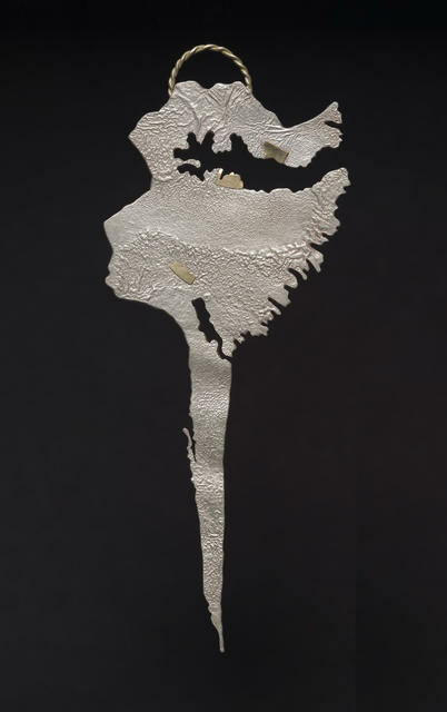
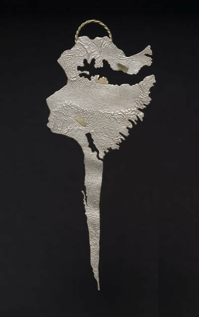
The delicate beauty of these works by Kāi Tahu artist Areta Wilkinson reveals a complex and difficult history of deceit and loss. This pendant is a map of part of Horomaka Banks Peninsula. Between 1844 and 1864, the government bought 34.5 million acres of land in Te Waipounamu South Island in ten separate purchases, three of which were from Horomaka: Whakaraupō Port Cooper (1849), Koukourarata Port Levy (1849) and Akaroa (1856). In order to convince Kāi Tahu to part with their land, the government’s representatives made threats and bribes promising infrastructure. They also agreed to set aside ten percent of all the land purchased for Kāi Tahu to use and live on. None of these promises were upheld, in breach of Te Tiriti o Waitangi. The small reserves of land that were put aside are marked by Wilkinson in gold. One of these, Ōpukutahi (Native Māori Reserve 885), is described in the accompanying audio recording of Kāi Tahu kaumātua George Waitai Tikao (1922–2019).
Kāi Tahu ~ tribal group of much of Te Waipounamu South Island
Te Tiriti o Waitangi ~ the Treaty of Waitangi
kaumātua ~ elder, person of status
He Kapuka Oneone – A Handful of Soil (from August 2024)


